By the tiswa editorial team, from the official sources listed at the end of this guide. How we write our guides
A supervisor opens a planning student’s file and finds one board: a small district mapped in three colours, three notes under it, and a line in the corner reading “Map from open data; analysis is mine.” She asks about a single colour: why are the car parks green? The student answers from what she saw walking through. That is the session you want, and a student who has never set foot in a planning office can have it.
What is a good portfolio for an urban planning internship?
A short file of one to three pages with at least one site analysis and any studio work you want to show. The American Planning Association describes a planner’s work as helping communities improve their neighbourhoods, services and surroundings, so let your board answer a question of that kind: what is this district missing?2 For the general method of building any portfolio, read build a portfolio, and for a neighbouring field see the logistics internship portfolio.
How do you build a site analysis board from public data?
- Choose a district you know
One you have actually walked, not one you only searched on a map. Knowing it on foot is the value.
- Download an open map
From OpenStreetMap, for instance, or from the national open data platform if it has something suitable. Read the licence and write the source on the board.13
- Sort three layers
Roads and movement; services such as schools, mosques and shops; open space and shade. Three are enough.
- Walk the site
Visit at two different hours and note what you see: who crosses, where people gather, where the shade runs out.
- Write three observations
One sentence each saying what you saw and what you would propose. Stop at three.
- State your limits
What did you not measure or collect? Put it in one line before the reader finds out.

The district below is invented by us and its figures are illustrative. It does not describe a real place.
| Layer | What you record (invented example) | Observation |
|---|---|---|
| Movement | A four-lane main street and two side streets | Pedestrians cross the main street where there is no crossing |
| Services | A school, three shops and a small park | No health service within a reasonable walk |
| Shade | Trees along one street only | The other street has no shade in the afternoon |
What do you remove to protect privacy and confidentiality?
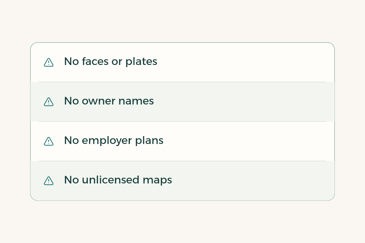
Remove faces and number plates from any photo you took on site. Remove owner names and plot numbers if they appear on a map or a deed. Do not show a plan or study from a project you worked on during an earlier placement without written permission, even if part of it is yours; safer to redo the idea on a public district. If you use satellite imagery or a map whose licence you cannot confirm, leave it out and go back to an openly licensed source.
When you share the file online, keep the link private and send it to the people you apply to. There is no reason to publish it openly.
How do you show the board in a CV and an interview?
Put one line under “Projects”: “Site analysis board for a district, from open map data, with three observations.” For layout see the guide to a CV for students. In the interview tell a scene from your visit, not the steps of the analysis; the scene is what stays. To practise questions, read the guide to urban planning internship interview questions. Update your LinkedIn page with the steps in LinkedIn internship profile.
Can I do an internship in Saudi Arabia with only a portfolio?
Yes, but the portfolio supports an application and does not replace one. Apply through your college training office or the employer’s own page, and attach the file only if the application allows it. If a posting says it does not want a portfolio, do not send one. A post circulating in a group chat is not an opening until the employer publishes it.
How do you choose the district to analyse?
Pick a neighbourhood of ten to fifteen streets, not a whole city. A small district lets you walk it in an hour and see where people stand. Avoid districts where the employer you are applying to is working, so your analysis does not read as criticism of its project. Best of all is one where you lived or studied, since you know its history and can say what changed.
If a district has too little open data, draw the layers by hand on a printed map and say so; a hand drawing is acceptable when it is declared. And add no population or density figures unless you can name an official source. A number with no source on a planning board does more harm than a board with no numbers.
Is coop training paid?
The host employer decides and writes it into its offer; some pay an allowance and some do not. Do not accept a spoken promise, and if the written offer differs from what you were told, take it to your college training office. To compare offers, see comparing training offers, and for what co-op is in the first place, the guide to coop training.
Which mistakes weaken planning portfolios?
The first is padding the file with photographs of famous cities that are not yours. The second is a copied map with no source, so the reader assumes you made it. The third is a beautiful board with not one observation saying what you propose. The fourth is hiding what you did not measure, which collapses at the first question. The fifth is length: three pages is enough, with an appendix for anyone who wants more.
If your placement is co-op, keep the board as raw material for the coop training report when it ends.